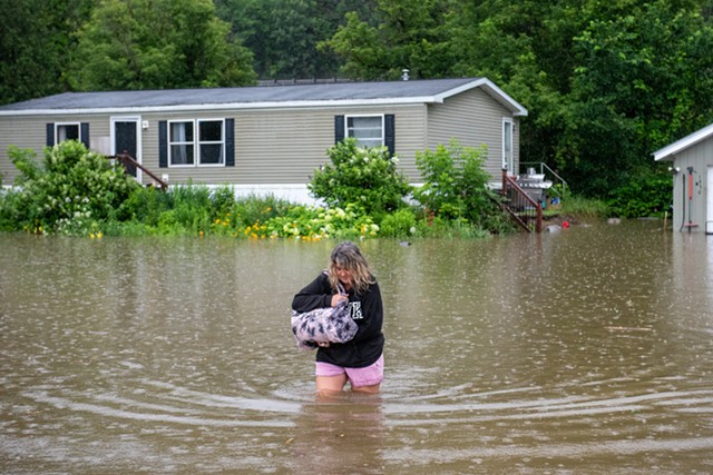
- Kevin Goddard
- A woman wading through rising floodwaters to leave a home on Route 2 in Waterbury
"We are not out of the woods. This is nowhere near over," Gov. Phil Scott said at a Tuesday morning press conference. "And at this phase, our primary focus continues to be on life and safety before we can shift into a recovery phase."
Thousands of homes and business have been flooded. More than 75 roads remained closed, state officials said, and more than 4,000 Green Mountain Power customers were without electricity as of noon. The state had not yet recorded any injuries or deaths, but rescue crews were still trying to reach affected areas by boat and helicopter — an operation that is expected to continue for several more days.
"The devastation is far-reaching," Scott said.
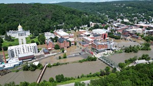
Severe flooding stretched from Woodstock in the south to Johnson in the north. Two regions have been hardest hit, Public Safety Commissioner Jennifer Morrison said: the Barre-Montpelier area, where downtowns were still underwater on Tuesday, and several towns in the southern Green Mountains, including Ludlow, Londonderry and Weston.
More than five inches of rain fell in those places. Barre received nearly eight inches, while Plymouth, the small Windsor County town south of Killington, received more than nine inches.
A stretch of Interstate 89 near Montpelier was closed overnight on Monday as rushing waters submerged the road. The Agency of Transportation reopened the interstate on Tuesday morning, though one northbound lane remained closed.
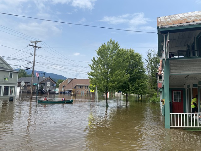
- Rachel Hellman ©️ Seven Days
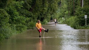
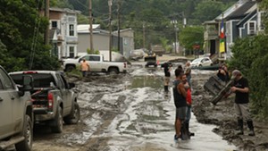
- Flooding along Lower Main Street in Johnson
Forecasted rain on Thursday and Friday could bring additional flooding because soils and waterways are already saturated. Officials are monitoring the forecast and beginning to model potential impacts.
"That's giving us a lot of concern," Scott said.



Comments
Comments are closed.
From 2014-2020, Seven Days allowed readers to comment on all stories posted on our website. While we've appreciated the suggestions and insights, right now Seven Days is prioritizing our core mission — producing high-quality, responsible local journalism — over moderating online debates between readers.
To criticize, correct or praise our reporting, please send us a letter to the editor or send us a tip. We’ll check it out and report the results.
Online comments may return when we have better tech tools for managing them. Thanks for reading.